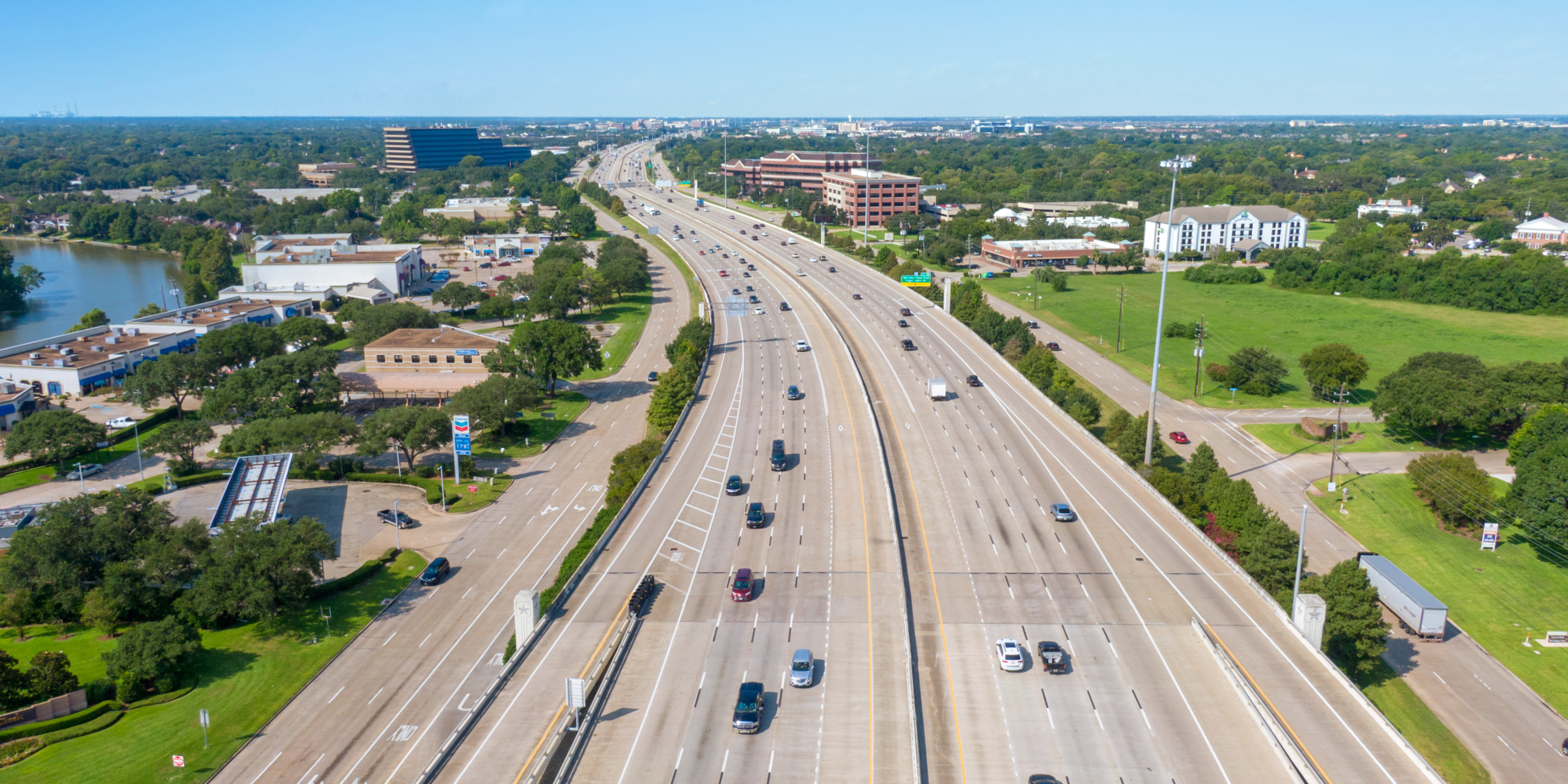
When complete, will be 180-mile circumferential highway encircling the Greater Houston region.
Infrastructure has long been a priority for Fort Bend County. County leadership and our municipal partners consider mobility and flood mitigation infrastructure a quality of life issue and have led the region in the construction of infrastructure.
Transportation Network
The Greater Houston region is large and most travel via cars to and from work and around the region. Road construction and expansion has remained a critical issue as the county has grown to ensure all residents have sufficient access to roads.
Use the tool below to explore drive times from the geographic center of the county. Click on the destination circles to toggle between the various urban centers across the region and see new information.
Initiating in Freeport with access to Port Freeport, is a major transportation corridor from the Port which runs through Fort Bend County and could potentially connect with Interstate 10. Expansions and extensions are planned.
Creates an east-west corridor to Houston’s major commerce centers with access to Greater Houston’s financial districts, Highway 6, the Sam Houston Tollway/Beltway 8, US 59, and the Galleria.
Currently under expansion to increase mobility in a growing region of the county.
Located in south Fort Bend County, provides improved access to Houston’s business and medical centers, with major interchanges at Highway 6, Lake Olympia Parkway, FM 2234 / McHard Road, Beltway 8 and US-90A.
A 1,660 mile highway, connects 31.8 miles of Fort Bend County, a five mile stretch currently expanding to six (or eight) lanes (location dependent).

Ports
Port Freeport
Port Freeport is a leading port in the export of crude oil and natural gas liquids and ranked 6th in chemicals, 11th in foreign waterborne tonnage, and 26th in containers
Click here to learn more about Port Freeport's efforts to grow bigger, deeper, wider and better.
Port of Houston
25 miles from the heart of Fort Bend County, Port of Houston is Texas’ largest port, ranked first in the US in foreign waterborne tonnage, 1st in US imports, 1st in US export tonnage, 2nd in the US in total tonnage.
Airports
Sugar Land Municipal
Being the fourth largest airport in the Greater Houston area, Sugar Land Municipal Airport is providing on-site US Custom services to accommodate both regional and international corporate executives.
Houston Southwest
Located in Southeast Fort Bend County, the Houston Southwest Airport provides airline rentals, charters, parking hangers, maintenance, and aviation fuel.
George Bush Intercontinental
Approximately 25 miles from the center of Fort Bend county, the George Bush Intercontinental Airport is currently ranked 5th among US airports.
William P. Hobby
Located 20 miles from Sugar Land, the William P. Hobby Airport serves millions of passengers each year, now offering both domestic and international flights.
Rail
Fort Bend County is fortunate to have three rail lines, Kansas City Southern (KSC), Burlington Northern Santa Fe (BNSF), and Union Pacific (UP) run throughout the county. The rail lines currently run parallel to both developed and undeveloped land, offering opportunities for rail services to businesses who need land to build as well as those who seek access to business parks and other developed proper
Municipal Utility Districts
A large county with a vast geography, Fort Bend County has comprehensive municipal utility and levy improvement districts systems to aid in development and quality of life. With the implementation of MUDs, corporate and residential developments may take advantage of the available land in the unincorporated areas of the county, assuring water and sewer services are available. Additionally, LIDs provide flood protection and storm water management services, protecting communities through responsible drainage systems enacted by the district. This flexible and utilitarian approach speeds up development and encourages greater access to available land for developers and industries seeking larger parcels of property.
Quality Community Alliance of Texas
QCAT is a governmental subdivision authorized by the state to provide water, sewage and drainage within the district. MUDs serve an invaluable purpose in our growing state, allowing for the affordable development of under served areas into quality communities.
